Biblical period: The Patriarchs

Dead Sea the biblical Salt Sea and places to visit

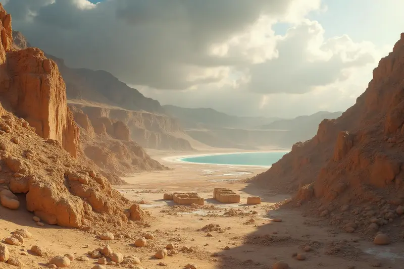
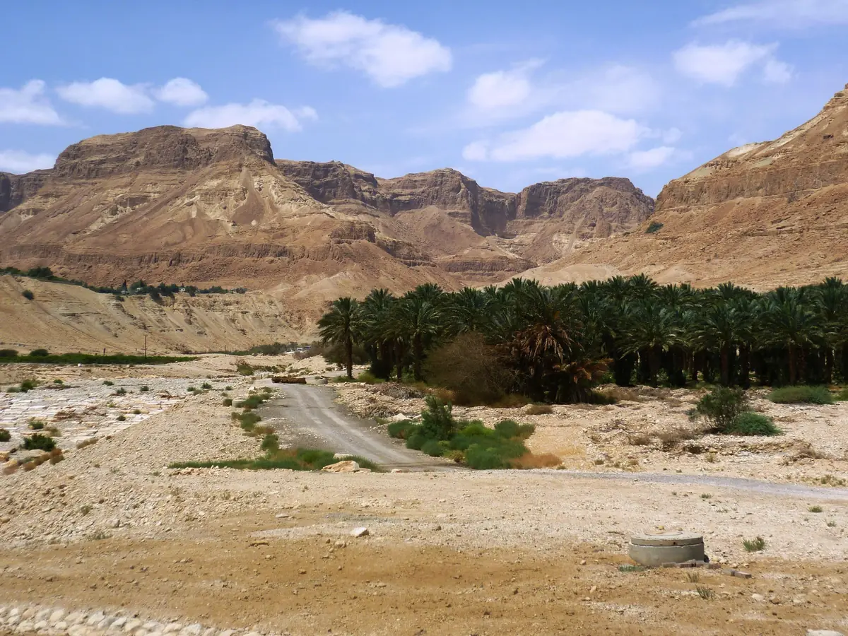
The biblical Salt Sea is a landscape of cliffs, oases and salt-lined shores, best explored through individual visitor sites.

  • Where : Dead Sea basin
  • Access : Region: managed access points
Plan my visit ↓

Adding this to your tour includes a stop at Ein Bokek beach (about 90 minutes).

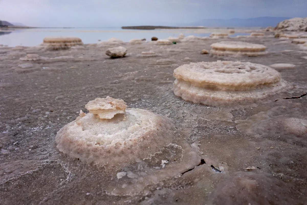
Salt formations along the edge of the Dead Sea
Salt deposits on a Dead Sea shore; managed bathing areas are separate visitor destinations.

Essentials

The Dead Sea is the Salt Sea named in the Bible. This saline lake is a major geographical reference in biblical narratives and boundary descriptions. Today its shores contain nature reserves, archaeological sites and managed beaches.

A visit needs specific access points. The map on this page locates the wider basin; it is not a bathing entrance or a road-navigation destination.

In brief

Why go
The Salt Sea appears in Genesis 14:3 and the boundary descriptions of Joshua 15.
What you'll see
Salt-lined shores, cliffs, oases and nearby historical sites.
Check before you go
Choose an authorised beach or open visitor site and check current conditions.

Parashat Lech Lecha (Genesis 12–17) Parashat Vayera (Genesis 18–22)

Text updated

Detailed contents
  1. Plan my visit
  2. Nearby
  3. The Salt Sea in biblical texts
  4. A changing landscape
  5. Sources and references
  6. Explore further
  7. Frequently asked questions

Plan my visit

Dead Sea: planning your visit

Duration
A short stop or a full day, depending on the selected sites.
Bathing
Use authorised areas and follow instructions on site.
Walking
Check heat, flash-flood risk and trail closures with the site manager.
Map

Choosing stops along the shores

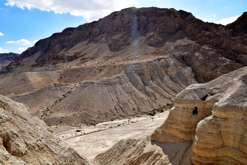
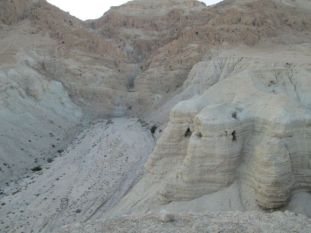
For a day trip, combine a heritage site with a managed beach instead of trying to visit every attraction. Ein Gedi offers an oasis landscape; Qumran introduces the scrolls and the Second Temple period. Check opening and available trails separately. Follow beach signs and lifeguard instructions when bathing. Jordanian itineraries require separate travel planning and entry formalities.

Nearby

Add to your itinerary

This page covers a region. Choose a specific site on the map to add to your itinerary.

See all biblical sites on the map →

History & Bible

Bible story

The Salt Sea in biblical texts

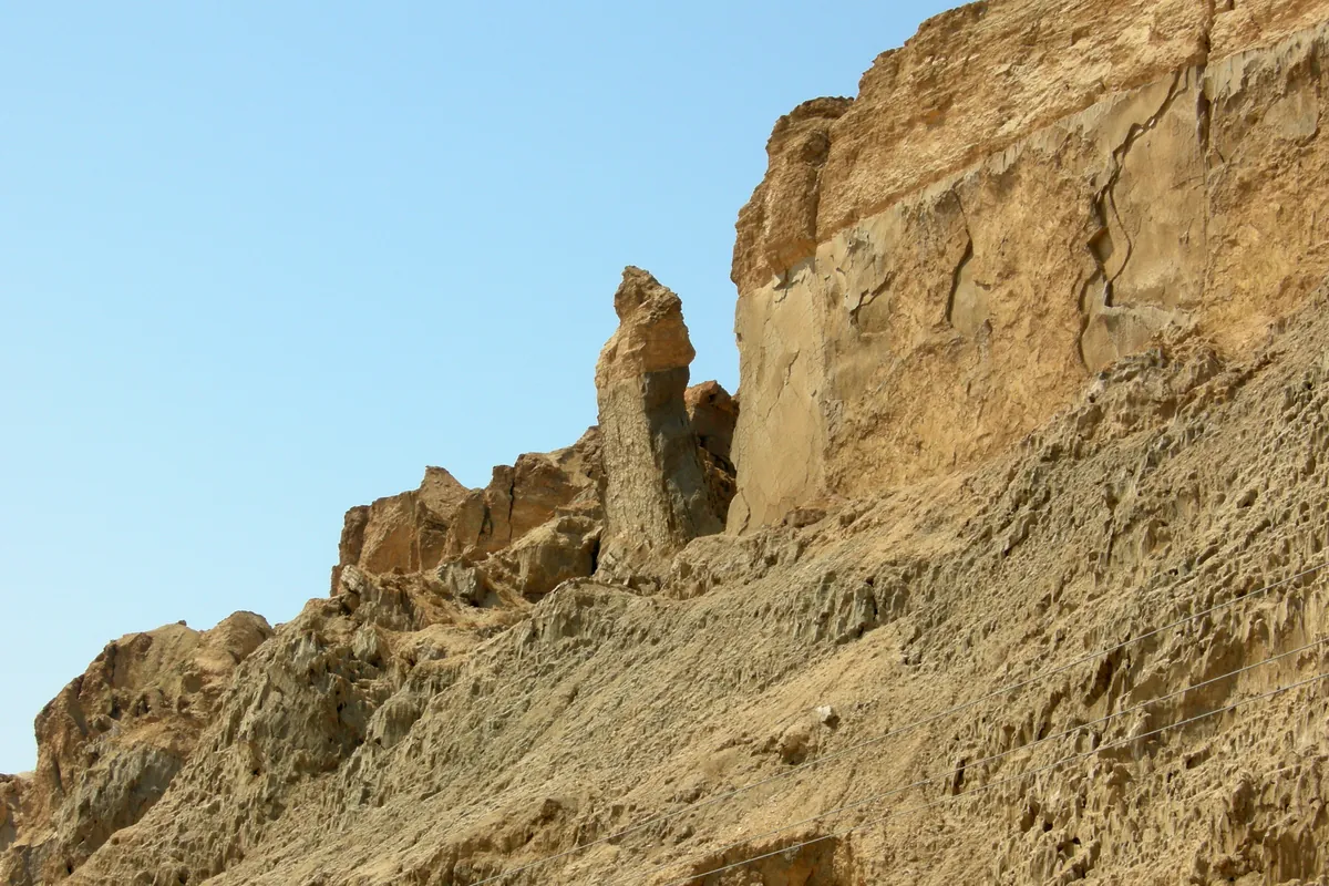
Isolated rock pillar below a cliff on Mount Sodom
A natural formation on Mount Sodom, south-west of the Dead Sea, traditionally nicknamed “Lot’s Wife”.

Genesis 14:3 associates the Valley of Siddim with the Salt Sea. This does not establish the precise battlefield on a modern map. Genesis 19 relates Lot’s escape and the destruction of the cities of the Plain; the proposed locations of Sodom and Gomorrah are discussed in a dedicated guide.

History

A changing landscape

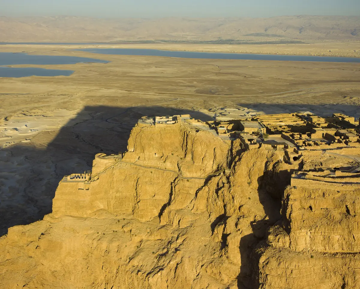
Aerial view of the Masada plateau with the Dead Sea basin in the background
The Masada plateau and the Dead Sea basin: separate stops to plan according to access and travel times.

Salinity, evaporation and shoreline change shape this environment. Old photographs, map traces or apparently nearby water do not establish a usable approach. Respect closed areas and unstable ground. Exploring the geography does not itself prove the events of a biblical narrative.

Sources and references

Explore further

Linked by the same story

These sites share a story but are not necessarily close to each other: distances are given in a straight line.

Frequently asked questions

Is the Salt Sea the Dead Sea?

Yes. Salt Sea is the biblical name commonly used for this lake.

Can I visit the exact Valley of Siddim?

Its precise location is not established. Explore the regional landscape without assuming a securely identified battlefield.

Is bathing allowed everywhere?

No. Choose an authorised beach and follow its rules.

Which site can I combine with the lake?

Ein Gedi for the oasis or Qumran for archaeology, depending on your interests and current opening.

Does the map mark a beach?

No. It is a regional reference; select a specific destination for navigation.

How much time should I allow for the Dead Sea?

A short stop or a full day, depending on the places chosen. For a day trip, combine a heritage site with an equipped beach, checking opening times and access for each stop separately.

Why should access to the shoreline be checked?

The shoreline changes with salinity, evaporation and changes in the lake. An old photograph or a track on a map does not guarantee a usable route; avoid unstable ground and closed areas.

How is the Dead Sea connected with the story of Lot?

Genesis 19 describes the destruction of the cities of the Plain and Lot’s flight to Zoar, then to a mountain cave. The regional landscape helps readers understand the narrative but does not prove where its events occurred.

Map

Regional map

Dead Sea basin; access through authorised beaches and visitor sites

The map approximately locates the basin. Use the official entrance of a specific beach or reserve for navigation.

OpenStreetMap ↗

Free PDF guide

The 25 must-see biblical sites in Israel

Our selection in one PDF: what the Bible says, what you will see on site and tips to prepare each visit.

Your details are only used to send you the guide and invite you to our WhatsApp group. Privacy policy