
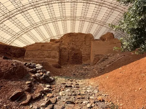
Tel Hazor: the Canaanite capital of Joshua 11
"The head of all those kingdoms": the largest Canaanite city in the land, its destruction by fire and an archaeological debate that is still open.
Biblical period: Judges and Kings
A border city between Israel, Aram and Tyre, saved by a wise woman according to the Bible, and a mound excavated since 2013 that has yielded the head of an unknown king: what the texts say, what the excavations found and what you can see today.
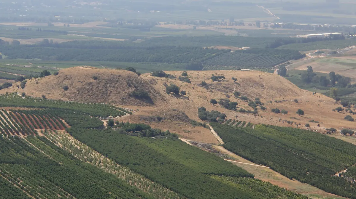
In the north of the Hula Valley, about 2 km south of Metula, Tel Abel Beth Maacah is a long hill overlooking Nahal Iyyon, one of the streams that feed the Jordan. The Bible sets a famous episode here: besieged by Joab, King David's general, the city is saved by a wise woman, who gets the siege lifted in exchange for the head of the rebel Sheba (2 Samuel 20). She calls it "a city and a mother in Israel".
Lying where the kingdoms of Israel, Aram-Damascus and Tyre met, the city was taken by the Arameans (1 Kings 15:20), then by Assyria in 732 BC, along with Kedesh, the city of refuge of Naphtali and Hazor (2 Kings 15:29). Excavations since 2013 have found a silver hoard, a small faience head of a king and an inscription in ancient Hebrew.
In brief
Plan my visit
| Visit duration | 30 to 45 minutes to walk up to the upper city and enjoy the view. Allow more during an excavation season. |
|---|---|
| Opening hours & prices | The mound is not a national park: no ticket office and no opening hours. Find out about current access conditions before you go. |
| Best seasons | Spring, for the green fields and the view of snow-capped Mount Hermon. In summer, come early: there is no shade apart from a few oak trees. Excavations take place in summer. |
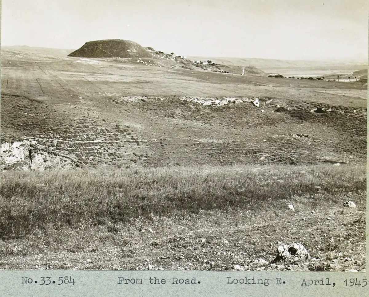
| Accessibility | The site is not wheelchair accessible: no built trail, an earth slope and tall grass. The outline of the mound can be seen from the road. |
| What to bring | Water, a hat, closed shoes and long trousers against tall grass and thistles. Shops and restaurants in Metula or Kiryat Shmona. |
| ⚠️ Safety | Border area with Lebanon: check the Home Front Command instructions on the day, do not cross any fence and keep away from military installations. |
The mound lies between Kfar Giladi and Metula, near Route 90. It is not a national park: there is no ticket office, no proper car park and no marked trail. You can spot its long outline from a distance as you drive up to Metula.
The upper city, to the north, is the highest point, with a few old oak trees. The excavation areas are mostly on the edges of the lower city. From the top, the view takes in the orchards of the Hula Valley, Metula, Mount Hermon and the northern Golan. The Lebanese border is very close: do not cross any fence and keep away from military installations.
The most telling finds are in museums: the faience head has been displayed at the Israel Museum in Jerusalem. Excavations take place in summer, and the team usually welcomes volunteers: it is the best way to discover the site from the inside.
The mound is about 6.5 km as the crow flies from Tel Dan, with its gate and its Aramean stele, and about ten kilometres from Banias, at the foot of Mount Hermon. In Metula, the Nahal Iyyon reserve and its waterfalls round off the visit. Further south, the Roman temple of Tel Kedesh and Hazor complete the circle of towns named in 2 Kings 15:29.
Nearby
Add other places to visit around Abel Beth Maacah.
Straight-line distances: the drive is longer.
From Genesis 14 to the "House of David" stele: archaeology, nature and biblical history at the springs of the Jordan.
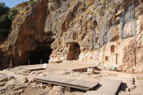
The region where Peter recognises Jesus as the Christ, a cave dedicated to the god Pan and one of the sources of the Jordan: what the texts say, what the excavations found and what you can visit today.
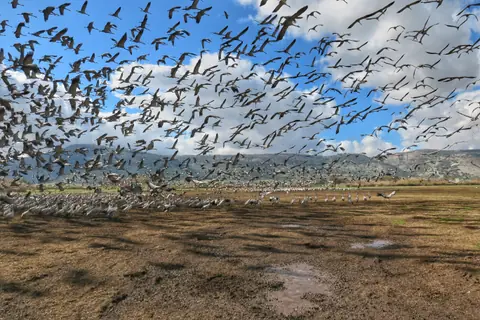
Tens of thousands of cranes in winter, a bird named by the prophet Jeremiah and, all around, the cities of the biblical north: what the texts say, what we know about the vanished lake and how to visit it today.
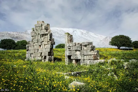
The city of refuge of Naphtali, the hometown of Barak and one of the best-preserved Roman temples in Israel, facing Mount Hermon: what the texts say, what the excavations found and what you can visit today.
History & Bible
Bible story
After Absalom's revolt, a Benjamite named Sheba, the son of Bichri, raised the northern tribes against David. Joab pursued him to the far north of the land, where Sheba shut himself up in Abel Beth Maacah.
"And they came and besieged him in Abel of Bethmaachah, and they cast up a bank against the city, and it stood in the trench: and all the people that were with Joab battered the wall, to throw it down."
2 Samuel 20:15 (KJV)
A woman then called out to Joab from the wall. She reminded him of her city's reputation for good counsel and reproached him for wanting to destroy a faithful town.
"They were wont to speak in old time, saying, They shall surely ask counsel at Abel: and so they ended the matter. I am one of them that are peaceable and faithful in Israel: thou seekest to destroy a city and a mother in Israel: why wilt thou swallow up the inheritance of the LORD?"
2 Samuel 20:18-19 (KJV)
Joab replied that he only wanted the rebel. The woman persuaded the townspeople "in her wisdom": they cut off Sheba's head and threw it over the wall. Joab blew the trumpet and lifted the siege (2 Samuel 20:21-22). The story sets the general's force against the words of a woman whom the text does not name, but who saves her city.
About a century later, Asa, king of Judah, bought the alliance of the Aramean king Ben-hadad against Israel. Ben-hadad invaded the north and "smote Ijon, and Dan, and Abelbethmaachah, and all Cinneroth, with all the land of Naphtali" (1 Kings 15:20). The parallel passage calls it Abel-maim, "Abel of the waters" (2 Chronicles 16:4).
"In the days of Pekah king of Israel came Tiglathpileser king of Assyria, and took Ijon, and Abelbethmaachah, and Janoah, and Kedesh, and Hazor, and Gilead, and Galilee, all the land of Naphtali, and carried them captive to Assyria."
2 Kings 15:29 (KJV)
The name means roughly "the meadow of the house of Maacah", after Maacah, a small neighbouring Aramean kingdom (2 Samuel 10:6). For the period of these stories, see the Judges and the Kings of Israel.
Archaeology
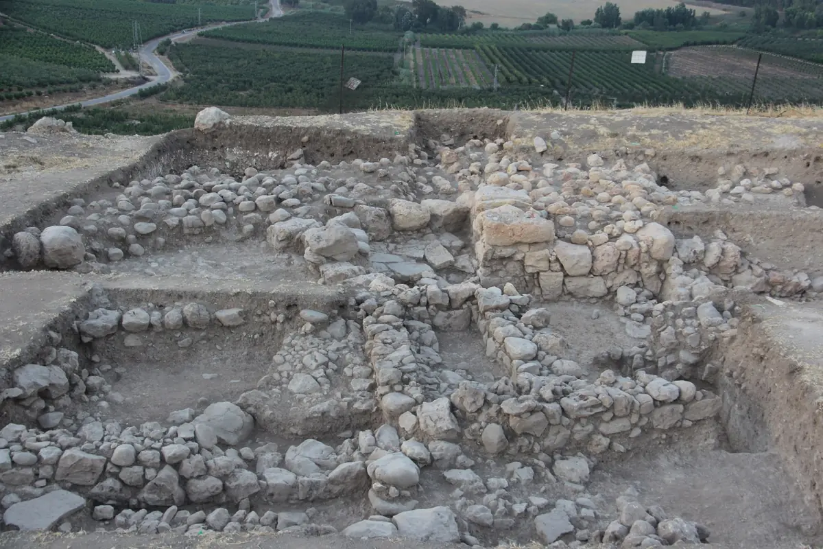
After a survey in 2012, excavations began in 2013 under Robert Mullins (Azusa Pacific University), Nava Panitz-Cohen and Naama Yahalom-Mack (Hebrew University of Jerusalem). The mound covers about 10 hectares: an upper city to the north and a lower city to the south.
In the very first season, a small jug set against the wall of the tower held earrings, an ingot and pieces of silver. Dated to the end of the Late Bronze Age, this small hoard is one of the earliest of its kind found in the country.
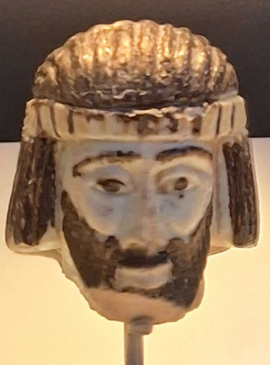
In 2017, a volunteer found in the upper-city citadel a small head of a bearded man made of faience, a glazed siliceous paste. Dated to the 9th century BC, it has a black beard and black hair held by a yellow headband. The Israel Museum displayed it as the head of a king. Which one? A king of Israel, of Aram-Damascus or of Tyre have all been suggested, with no inscription to settle the question.
In 2019, the excavators found a short inscription in ancient Hebrew script on a jar, read leBenayau, "belonging to Benayau". The name ends with a form of the divine name YHWH and means "Yahweh has built". It is dated to the 10th or 9th century BC. The excavators remain cautious: a jar can travel, and one inscription is not enough to say who controlled the city.
Tradition and identification
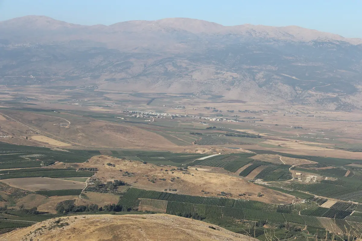
Abel Beth Maacah controls the road that climbs from the Hula Valley towards the valley of Lebanon, between three powers: the kingdom of Israel to the south, Aram-Damascus to the east and Tyre to the west. The Bible presents it as a city of Israel, and the episode of the wise woman even makes it a byword for wisdom "in Israel".
Archaeology adds nuance. In the 9th century BC, the Aramean king who had the Tel Dan stele carved, 6.5 km to the east, dominated the whole region. The excavators of Abel Beth Maacah have therefore asked the question openly: was the city Israelite, Aramean, Phoenician, or each of these in turn? The Hebrew inscription points to an Israelite presence, while other objects recall the Phoenician coast. The answers depend on future seasons of excavation.
History
These sites share a story but are not necessarily close to each other: distances are given in a straight line.
"The head of all those kingdoms": the largest Canaanite city in the land, its destruction by fire and an archaeological debate that is still open.
The mound is not a national park: there is no ticket office, no car park and no marked trail. Farm tracks lead to it from around Metula. Because it touches the Lebanese border, check the day's safety instructions, do not cross any fence and keep away from military installations.
For Bible enthusiasts, yes: it is the very place of the story of the wise woman, with a view over the whole Hula Valley and Mount Hermon. On a first trip, <a href="/en/lieu/tel-dan">Tel Dan</a>, 6.5 km away, shows more remains. The simplest option is to combine the two in the same morning.
According to 2 Samuel 20, the rebel Sheba, son of Bichri, took refuge in Abel Beth Maacah and Joab, David's general, besieged the city. A woman, whom the text does not name, negotiated from the wall: the townspeople handed over Sheba's head and Joab lifted the siege. She called her town "a city and a mother in Israel" (2 Samuel 20:19).
The small head of a bearded man, found in 2017 and dated to the 9th century BC, has been displayed at the Israel Museum in Jerusalem as the head of a king. Check with the museum that it is on view when you visit: nothing is displayed on the mound itself.
Nobody knows. It dates from the 9th century BC, when the city lay between Israel, Aram-Damascus and Tyre: a king from each of these kingdoms has been suggested. No inscription accompanies it, and no exact parallel is known.
Not on its own. The inscription, found in 2019 on a jar, carries a name containing the divine name YHWH, typical of Israel, and dates from the 10th or 9th century BC. But a jar can come from elsewhere or belong to a foreigner living in the town. The excavators see it as a clue, not a proof.
Yes. Abel-maim, "Abel of the waters", is the name used in 2 Chronicles 16:4 for the same episode as 1 Kings 15:20. Abil al-Qamh is the Arab village that occupied the mound until 1948 and kept the ancient name. The explorer Edward Robinson was the first, in the 19th century, to identify the mound with the biblical city.
Start with Tel Dan nature reserve and Abraham's Gate, then the springs of Banias and the cave of Pan. To follow the towns conquered by Assyria, head south to Tel Kedesh, the city of refuge and Hazor.